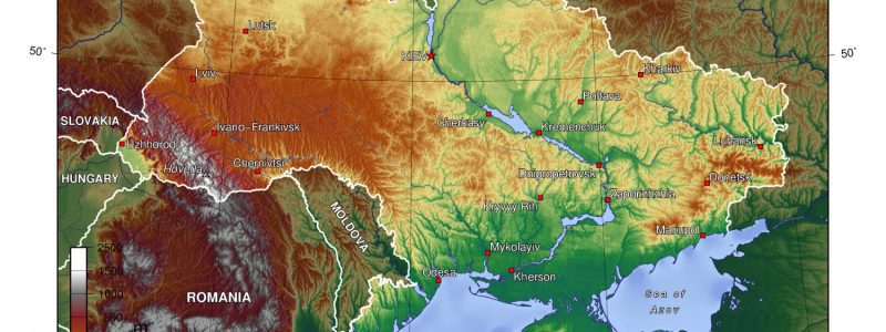
A digital topographical 1:100 000-scale map has been created in Ukraine, and it covers the entire country, Deputy Minister for Development of Economy, Trade and Agriculture Taras Vysotsky has said.
According to his report in the Facebook social network on Friday, the map contains information about the administrative-territorial structure of all levels: level 1 – Autonomous Republic of Crimea, regions, cities with special status (Kyiv and Sevastopol), level 2 – districts and cities of regional significance, districts in cities with special status; level 3 – borders of the amalgamated territorial communities; level 4 – the boundaries of city, town and village councils; level 5 – the boundaries of settlements.
“The map will be needed when deciding on the planning and use of natural resources, the economic development of territories, the design of large industrial complexes, navigation, and other purposes,” the deputy minister wrote.
According to Vysotsky, the digital topographic map will become the basis for the creation of geographic information systems, special, thematic and other maps and plans, the development of the national infrastructure of geospatial data at the national level.