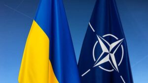
North Atlantic Treaty Organization allies are not inviting Ukraine to membership talks, but have promised to do so when they agree to it and allow conditions.
This is the content of the final communiqué of the meeting of the North Atlantic Treaty Organization heads of state and government to be approved, several informed sources told the Interfax-Ukraine news agency.
They claim that the wording will sound as follows: “We will issue an invitation when the allies agree and conditions are met.”
The sources also say that the allies have agreed to exclude the Membership Action Plan from the conditions for Ukraine. This wording can be written as follows: “Ukraine’s path to full Euro-Atlantic integration has gone beyond the need for a Membership Action Plan.”
At the same time, the sources do not rule out that the text could be changed.
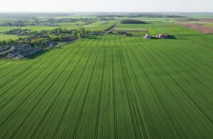
On November 3, the All-Ukrainian Agrarian Rada (VAR) public organization, with the support of the US Agrarian and Rural Development Program (USAID), launched an interactive map of the destruction of the agricultural sector in Ukraine, created to demonstrate the real damage caused to the industry by Russian aggression.
As reported on the VAR website, the disclosure of such information can help Ukrainian agricultural producers record the war crimes of the Russians against the Ukrainian agro-industrial complex, which have inflicted over $6 billion in direct losses since the start of the full-scale aggression.
According to the organization, the interactive map posted on the resource agrirecovery.com.ua will become a reliable source of data for the world community, potential investors and government authorities of Ukraine.
During the presentation, the head of the Verkhovna Rada Committee on Finance, Tax and Customs Policy, Daniil Getmantsev, said that the resumption of Ukraine’s agricultural sector after its victory over the Russian Federation should bring it to a higher level, while it is important to record it in detail in order to compensate for the damage.
“We must understand how and how much to collect damages from the aggressor, have a clear legal mechanism that will be acceptable for conducting cases in international courts. So, we urgently need to record the destruction in order to collect the necessary evidence to recover funds from the aggressor after our victory” , – VAR quotes Getmantsev.
According to the organization, the interactive map is designed to document damage and crimes in the interests of the farmers themselves, since the information posted there will be seen by international organizations that make political decisions to support Ukraine. At the same time, it is important that private investment and charitable foundations have access to this information, which will be able to find potential enterprises on an interactive map for further targeted assistance in their restoration.
It is specified that the Vkurse Agro project became the technical developer of the map. The map is bilingual: information is presented in Ukrainian and English. The portal provides opportunities for searching and downloading data, photo materials of destruction for each farm, displays information about damaged land plots, land reclamation facilities, crops, etc. A simple algorithm has also been developed for adding new objects, it is possible to use feedback.

A team of employees from several Ukrainian retail chains, together with the Ministry of Digital Transformation, developed and launched an online map of grocery stores in the country with information about the status and time schedule of their work.
The Minister of Agrarian Policy and Food Roman Leschenko wrote about this on Facebook on Wednesday.
“As of March 1, 2022, the map displays information about ATB, KOLO, Silpo, Fora, Novus, Varus, Rukavychka and ECO-market stores. The online resource will be regularly updated on an ongoing basis and add new retail chains and separate stores. The date and time of updating information on a particular store are indicated in the appropriate fields,” the minister wrote in a message.
He clarified that the map of grocery stores indicates the name of the store/retail chain, the opening hours of specific stores in different cities and their addresses, as well as the status of the outlets.
Leschenko called on all retail chains and grocery outlets to join this initiative.
MAP OF INTERNET COVERINGS OF UKRAINIAN BASIC MOBILE OPERATORS IN JAN 2021
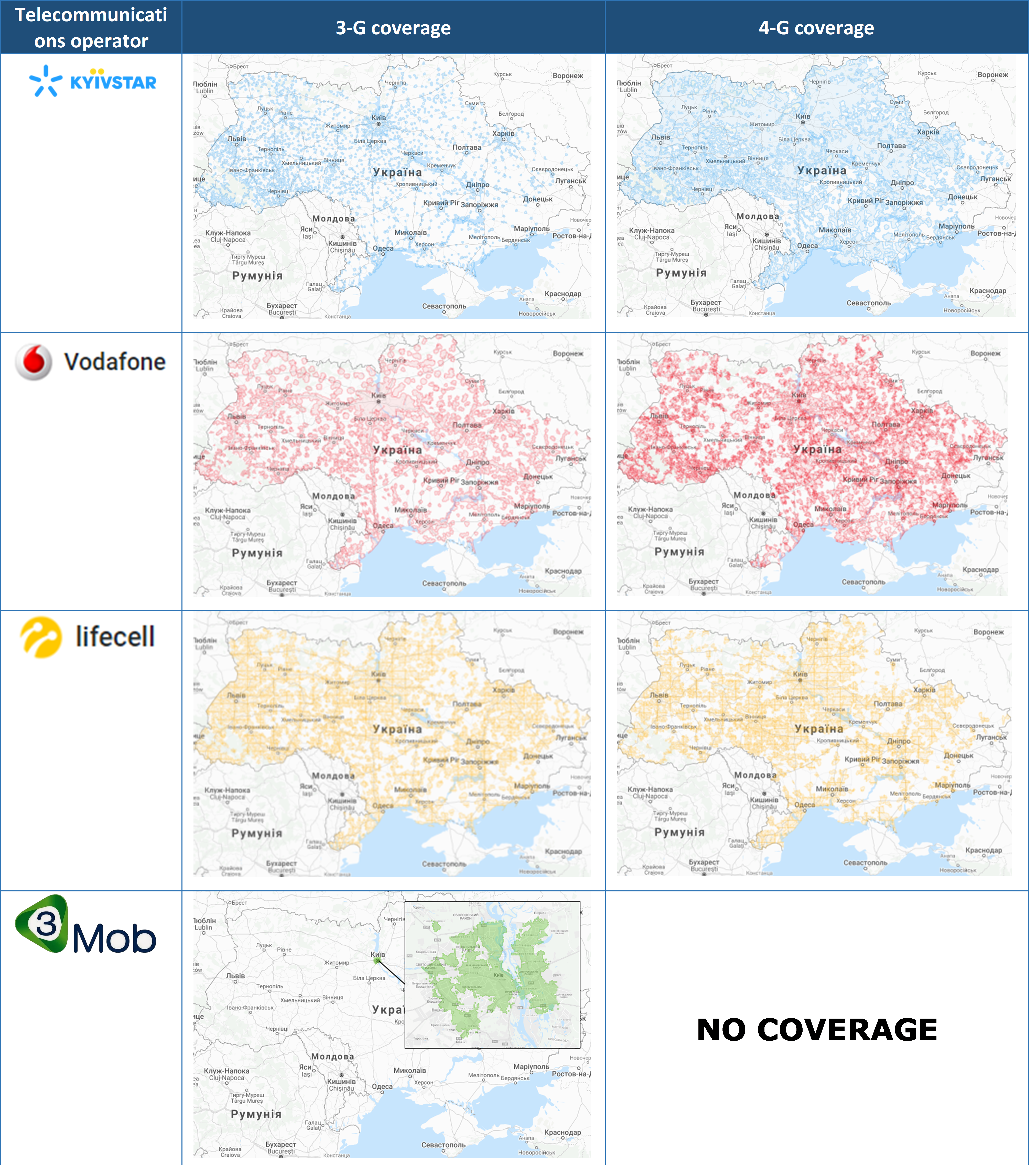
Map of internet coverings of ukrainian basic mobile operators in Jan 2021
A digital topographical 1:100 000-scale map has been created in Ukraine, and it covers the entire country, Deputy Minister for Development of Economy, Trade and Agriculture Taras Vysotsky has said.
According to his report in the Facebook social network on Friday, the map contains information about the administrative-territorial structure of all levels: level 1 – Autonomous Republic of Crimea, regions, cities with special status (Kyiv and Sevastopol), level 2 – districts and cities of regional significance, districts in cities with special status; level 3 – borders of the amalgamated territorial communities; level 4 – the boundaries of city, town and village councils; level 5 – the boundaries of settlements.
“The map will be needed when deciding on the planning and use of natural resources, the economic development of territories, the design of large industrial complexes, navigation, and other purposes,” the deputy minister wrote.
According to Vysotsky, the digital topographic map will become the basis for the creation of geographic information systems, special, thematic and other maps and plans, the development of the national infrastructure of geospatial data at the national level.